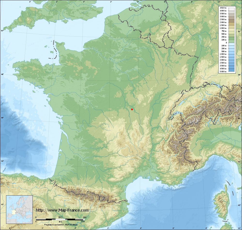
La Chapelle-aux-Chasses on the relief France map in Lambert 93 coordinates
|

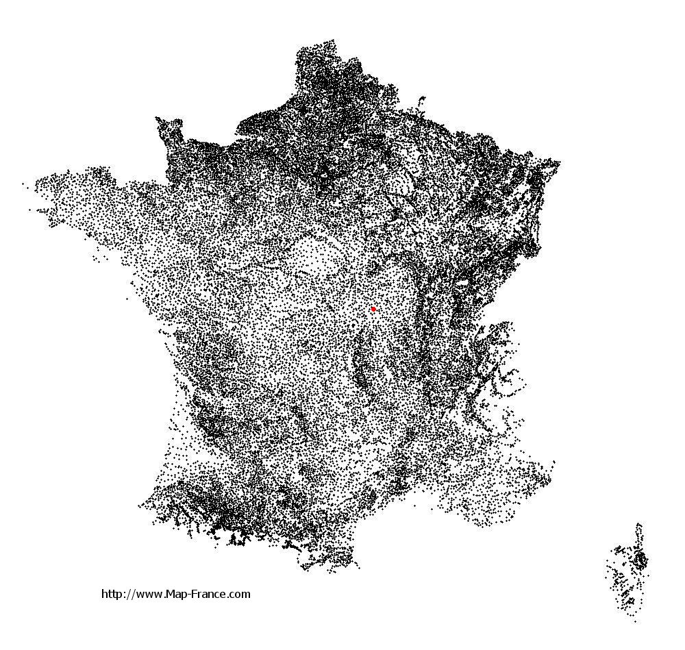
See the map of La Chapelle-aux-Chasses in full screen (1000 x 949)
|
At left, here is the location of La Chapelle-aux-Chasses on the relief France map in Lambert 93 coordinates.
Here are the altitudes of La Chapelle-aux-Chasses :
- Town hall altitude of La Chapelle-aux-Chasses is 220 meters
- Minimum altitude of La Chapelle-aux-Chasses is 207 meters
- Maximum altitude of La Chapelle-aux-Chasses is 251 meters
- Medium altitude of La Chapelle-aux-Chasses is 229 meters
Here are the altitudes of Moulins, prefecture of Allier department:
- Town hall altitude of Moulins is 219 meters
- Minimum altitude of Moulins is 202 meters
- Maximum altitude of Moulins is 240 meters
- Medium altitude of Moulins is 221 meters
Here are the altitudes of the french biggest cities:
Paris : 33 meters
Marseille : 20 meters
Lyon : 237 meters
Toulouse : 146 meters
Nice : 10 meters
Nantes : 20 meters
Strasbourg : 144 meters
Montpellier : 35 meters
Bordeaux : 16 meters
Lille : 20 meters
Rennes : 35 meters
Reims : 83 meters
Click here for the terrain map of La Chapelle-aux-Chasses in full screen:
Relief map of La Chapelle-aux-Chasses
|
This relief map of La Chapelle-aux-Chasses is reusable and modifiable by making a link to this page of the Map-France.com website or by using the given code :
|
Terrain base map of La Chapelle-aux-Chasses
|
See the terrain base map of La Chapelle-aux-Chasses in full screen (1000 x 949)
|
Small relief base map of La Chapelle-aux-Chasses

|
This base map of La Chapelle-aux-Chasses is reusable and modifiable by making a link to this page of the Map-France.com website or by using the given code :
|
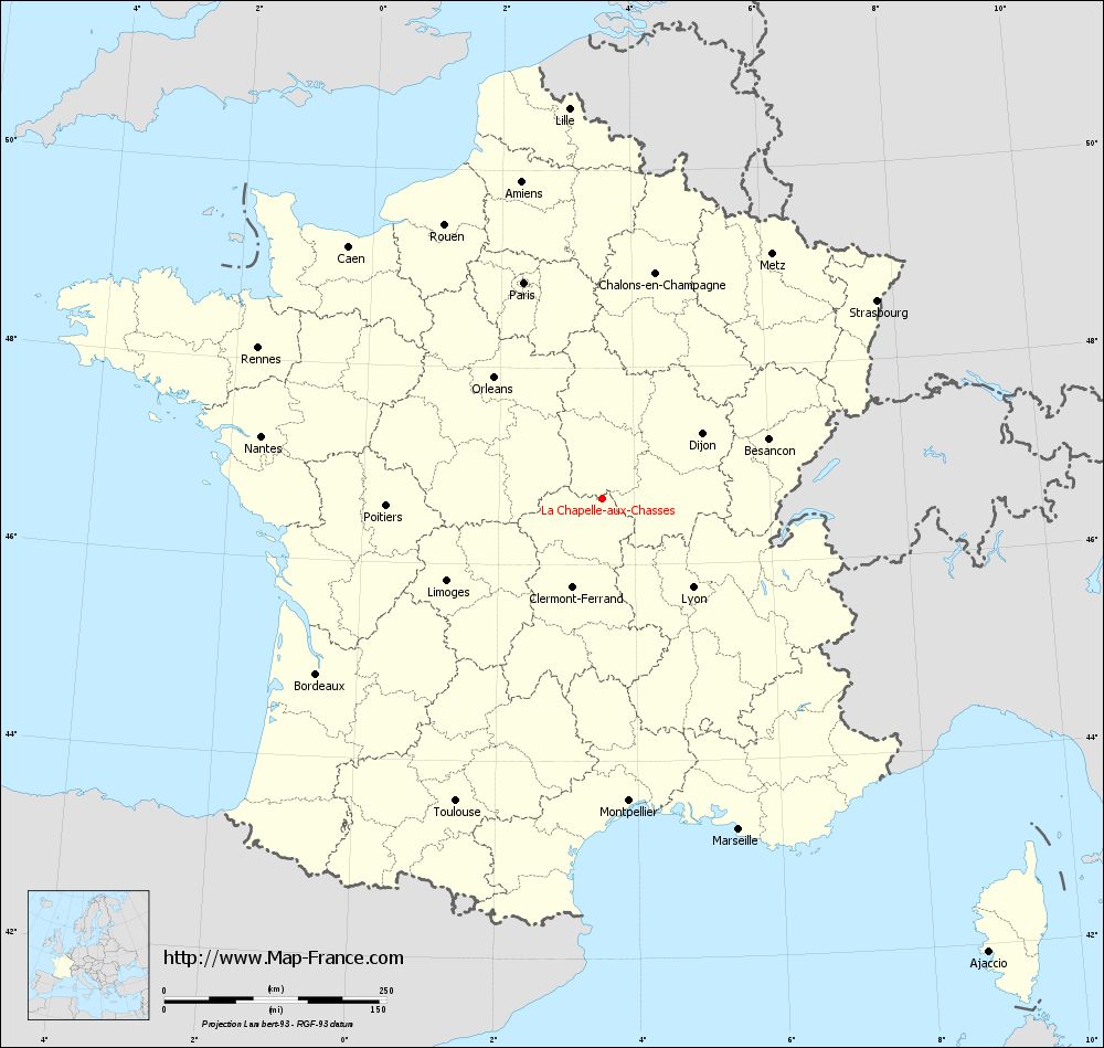
Map of La Chapelle-aux-Chasses with regions and prefectures
|
View the map of La Chapelle-aux-Chasses in full screen (1000 x 949)
|
You will find the location of La Chapelle-aux-Chasses on the map of France of regions in Lambert 93 coordinates. The town of La Chapelle-aux-Chasses is located in the department of Allier of the french region Auvergne.
Geographical sexagesimal coordinates / GPS (WGS84):
Latitude: 46° 40' 14'' North
Longitude: 03° 31' 53'' East
Geographical decimal coordinates :
Latitude: 46.672 degrees (46.672° North)
Longitude: 3.532 degrees (3.532° East)
Lambert 93 coordinates :
X: 7 406 hectometers
Y: 66 191 hectometers
Lambert 2 coordinates :
X: 6 914 hectometers
Y: 21 863 hectometers
Below, the geographical coordinates of Moulins, prefecture of the Allier department:
Geographical sexagesimal coordinates / GPS (WGS84):
Latitude: 46° 33' 53'' North
Longitude: 03° 19' 57'' East
Geographical decimal coordinates :
Latitude: 46.568 degrees (46.568° North)
Longitude: 3.335 degrees (3.335° East)
Lambert 93 coordinates :
X: 7 255 hectometers
Y: 66 072 hectometers
Lambert 2 coordinates :
X: 6 763 hectometers
Y: 21 743 hectometers
|
This map of La Chapelle-aux-Chasses is reusable and modifiable by making a link to this page of the Map-France.com website or by using the given code :
|
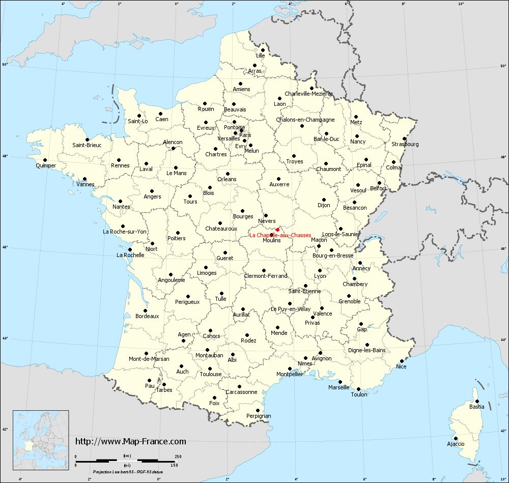
Map of La Chapelle-aux-Chasses with departments and prefectures
|
Voir la carte of La Chapelle-aux-Chasses en grand format (1000 x 949)
|
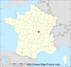
Here is the localization of La Chapelle-aux-Chasses on the France map of departments in Lambert 93 coordinates. The city of La Chapelle-aux-Chasses is shown on the map by a red point.
The town of La Chapelle-aux-Chasses is located in the department of Allier of the french region Auvergne.
The latitude of La Chapelle-aux-Chasses is 46.672 degrees North.
The longitude of La Chapelle-aux-Chasses is 3.532 degrees East.
Here the distance between La Chapelle-aux-Chasses and the biggest cities of France:
Distances are calculated as the crow flies (orthodromic distance)
Distance between La Chapelle-aux-Chasses and Paris : 258.84 kilometers
Distance between La Chapelle-aux-Chasses and Marseille : 402.56 kilometers
Distance between La Chapelle-aux-Chasses and Lyon : 142.46 kilometers
Distance between La Chapelle-aux-Chasses and Toulouse : 378.24 kilometers
Distance between La Chapelle-aux-Chasses and Nice : 440.22 kilometers
Distance between La Chapelle-aux-Chasses and Nantes : 390.46 kilometers
Distance between La Chapelle-aux-Chasses and Strasbourg : 380.96 kilometers
Distance between La Chapelle-aux-Chasses and Montpellier : 341.35 kilometers
Distance between La Chapelle-aux-Chasses and Bordeaux : 377.59 kilometers
Distance between La Chapelle-aux-Chasses and Lille : 441.03 kilometers
Distance between La Chapelle-aux-Chasses and Rennes : 423.18 kilometers
Distance between La Chapelle-aux-Chasses and Reims : 289.75 kilometers
Clic here to see the map of La Chapelle-aux-Chasses in full screen:
La Chapelle-aux-Chasses on the map of french departments
|
This administrative map of La Chapelle-aux-Chasses is reusable and modifiable by making a link to this page of the Map-France.com website or by using the given code :
|
Administrative base maps of La Chapelle-aux-Chasses
|

See the administrative base map of La Chapelle-aux-Chasses in full screen (1000 x 949)
|
Small administrative base map of La Chapelle-aux-Chasses
|
This base map administrative of La Chapelle-aux-Chasses is reusable and modifiable by making a link to this page of the Map-France.com website or by using the given code :
|
 French Version : http://www.cartesfrance.fr